
Satellite Laser Will Map Forests in 3-D

By Brittany Patterson | Scientific American | March 8, 2016
In 2018, America’s space agency is going to send a laser into the galaxies to assess the world’s trees.
It won’t be the first time NASA dabbles in lidar technology—shooting lasers onto things and recording what comes back—but it will be the first time the agency sends a laser specifically designed to measure the intricate structure of forests.
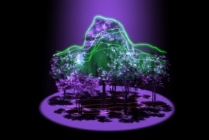
The goal of the mission, fittingly named GEDI, an acronym for Global Ecosystem Dynamics Investigation lidar, is to map forests trunk to canopy—or, to put it another way, to measure the volume of the world’s forests and visualize them in 3-D.